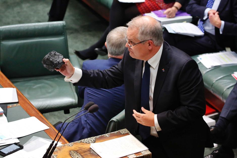
This is coal.
Don't be afraid, don't be scared. It won't hurt you. It's coal.
It was dug up by men and women who work and live in the electorates of those who sit opposite.
It's coal that has ensured for over a hundred years that Australia has enjoyed an energy competitive advantage, that has delivered prosperity to Australian businesses [...]
After yet another record-breaking summer of heat and drought, the 2019 Australian election was fought over the environment.
The environment lost.
Scott Morrison – not the progressive opposition – would go on to preside over the most devastating bushfires the country has ever seen.
The Black Summer destroyed 3,000 homes, killed 800 million animals and choked the country in smoke for months.1 2
Extreme fire weather is becoming more frequent in Australia.3 This is a result of climate change, which is increasingly driven by emissions from coal-fired power stations.4
Many Australians feel that coal is essential to their livelihood. It's the country's second largest export after iron ore.5
After years of environmental hold-ups and activist protests, the Morrison government approved plans for a new mine at Carmichael – the #StopAdani mine – shortly after their election victory.
The cruel irony is that working people will suffer most in the coming century from extreme weather and water scarcity.
It's easy to forget that much of the prosperity we enjoy is powered by billions of tonnes of fossilised material dug out of the ground. We don't often encounter lumps of coal in our day-to-day lives.
This project started as an act of curiosity: opening a map to see where coal comes from and what it looks like.
Assembled here are satellite images of operational coal mines in Australia.
I was inspired to present the data in this format by Josh Begley's Prison Map. Also striking is Mishka Henner's Feedlots.
Thanks to Sarah for editing this text.
Full code for processing the mines data, retrieving the satellite tiles and generating this site is on Github.
The database of mines was sourced from Geoscience Australia and is licensed under the Creative Commons Attribution 4.0 International Licence. Copyright Commonwealth of Australia 2015.
Satellite imagery is from Mapbox. Copyright Mapbox, OpenStreetMap and DigitalGlobe.